Data
26.10.2026
Orario
09:30
Luogo
Ca' Tron
Categoria
Seminario / Workshop
Regional cartography in the season of decentralisation
Ca’ Tron, aula B1
Curated by Viviana Ferrario and Stefano Piastra
Organised by Agei – "History of Cartography and Historical Cartography" Working Group
In collaboration with Università Iuav di Venezia
Although already envisaged by the Republican Constitution (Part II, Title V, arts. 114-131), the ordinary-statute Regions became operative in 1970 following the first regional elections. The transfer of the relevant administrative functions from the State to the Regions took place with Presidential Decree no. 8 of 15 January 1972, making them fully operational. This concretely inaugurated the long-awaited season of administrative decentralisation of the State. Among its various consequences and implications, the whole process led to the creation of regional cartographic offices and to the establishment of Regional Technical Maps (CTR), a cartographic production running parallel to the State's official cartography, overseen by the Military Geographic Institute.
The seminar, promoted by the AGEI Group "History of Cartography and Historical Cartography", aims to foster in-depth studies and research into this historical juncture, chronologically situated between the 1970s and the early 1980s.
The event, within a geo-historical approach and open to interdisciplinary contributions, will host papers and studies focusing on the different trajectories and final outcomes of the process: the debate within individual regions over the CTR, its connection to the respective regional laws, the cartography produced (including thematic maps), other materials created (photo-plans, orthophoto maps, toponymic repertories, etc.), the first experiments in remote sensing and computer technologies, the effects and applications on regional planning, protected areas, etc., and the regional political framework underlying the whole operation, including the dynamics specific to the special-statute regions and autonomous provinces.
The seminar aims to outline a first synthesis of this period, chronologically close yet already consolidated and historicised, highlighting differences, similarities, practices and delays on a regional/autonomous provincial basis, and drawing on a wide variety of sources on the subject: printed publications, grey literature and texts for the internal use of individual offices, cartographic products, focus groups and interviews with the protagonists of this season.
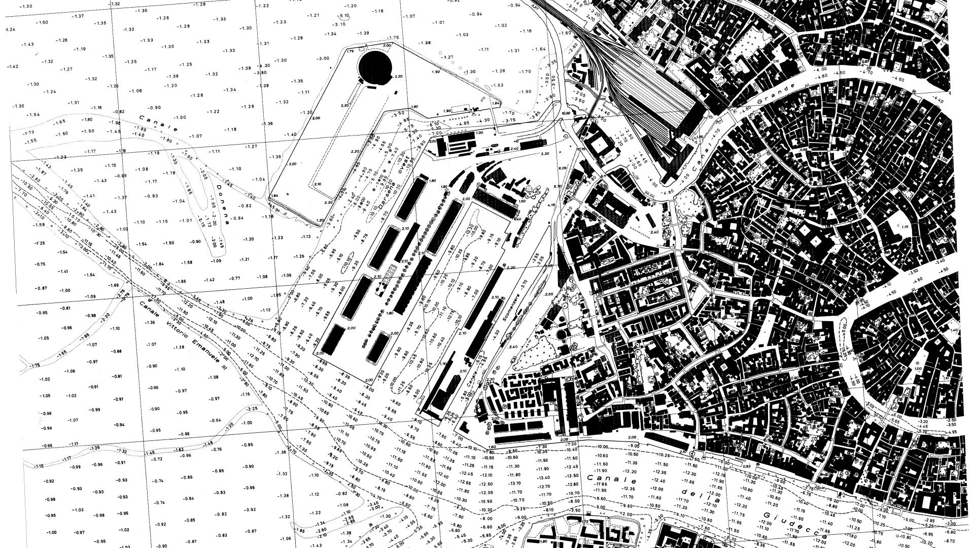
Image credits: Regione del Veneto – CTR raster – 127161 – Venezia – Ovest – 1:5,000.